
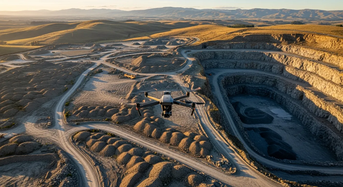
You Fly.
We Process.
Worldwide drone data processing from New Zealand.
Upload your imagery, GCPs and coordinate system information. Receive survey-grade orthomosaics, DSMs, DTMs and classified point clouds — ready for civil design, construction and reporting.
Flat-fee processing from $150 NZD — view rates
We do not provide drone mapping flights. SURVCO processes drone imagery for surveyors, contractors and drone operators worldwide.
See the Results
From Drone to Deliverable
Real-time processing workflow — from raw drone imagery to survey-grade outputs
Busy? Overloaded? Throw it over.
Your team is flat out. The last thing you need is processing jobs backing up. Upload your imagery & GCPs and we'll turn it around while you focus on delivering your projects.
Sound familiar?
- Month-end volumes due?
- Staff already at capacity?
- Back-to-back jobs piling up?
- Claims evidence needed urgently?
What We Process
We specialise in drone data processing for surveyors, contractors and engineers worldwide — including orthophotos, point clouds, DTM/DEM meshes and full photogrammetry workflows.
Send us your raw drone imagery and we transform it into professional survey-grade outputs — no processing software, no expensive hardware, just a well-planned flight on your end. We process all datasets in Agisoft Metashape and apply quality checks at every stage. Get the deliverables you need, without the processing headache.
Need it quickly? Let us know before you upload.
Surfaces, Terrain & Point Clouds
DEM, DTM, dense point clouds and 3D meshes from your drone imagery — georeferenced terrain and surface data ready for civil design, earthworks, and visualisation.
Learn more →White Label Processing
Drone operators: outsource your photogrammetry processing confidentially. You stay client-facing — we handle the processing behind the scenes with no Survco branding on deliverables.
Learn more →Orthophoto Generation
Survey-grade orthomosaics for contractors, surveyors, and engineers. Accurate, georeferenced orthophotos suitable for planning, reporting, design, and site documentation.
Learn more →GCP & Coordinate Processing
Full GCP integration and NZ coordinate system transformation — including NZTM — ensuring your outputs align with survey control and engineering designs.
Learn more →Output Formats
We deliver in the format your workflow demands — DWG, 12D, XML, LAS, georeferenced TIFF and more. Processed files arrive ready to load directly into your civil design or GIS software.
Volume Calculations
Custom volumetric analysis and earthworks reporting performed in 12d Model for survey-grade precision — including stockpile volumes, cut/fill analysis, subgrade surface modelling, and design comparisons.
Contact us to discuss →International clients
We process datasets from anywhere in the world. Simply provide your imagery, coordinate reference system (CRS) information and any GCPs — we handle the rest from New Zealand.
New to drone data capture?
Our free capture guide covers flight settings, GCP placement, overlap recommendations and accuracy tips — everything you need before you fly so your imagery processes correctly.
Working to a deadline?
Flag it before you upload.
If the job needs to be ready by morning — for claim processing / evidence, a site meeting, a client presentation, or a contractor starting on-site — let us know upfront when you get in touch.
We'll plan around it, give you a straight answer on what's achievable, and commit to delivery if it's within our control. No vague turnaround windows. No surprises. When it's planned and it's possible, it gets done.
Why Partner With
Survco?
You already have a drone and a pilot. What you don't need is the overhead of costly processing software, powerful workstations, and the time to learn complex photogrammetry pipelines. That's exactly what Survco removes — so you can keep flying and let us handle the rest.
Locally based in the Waikato, Survco is backed by over 20 years of professional surveying experience. We understand the standard of accuracy that engineers, contractors and project managers depend on — which is why every orthophoto, DTM/DEM mesh, point cloud and volume calculation we deliver is processed to survey-grade accuracy, because we've been on the receiving end ourselves.
NZ Expertise
20 years of NZ surveying experience. We process to local coordinate systems and standards.
Survey-Grade Accuracy
Where GCPs are supplied, every output is validated against them before delivery. Centimetre-level accuracy achievable on Tier 2 and above — because we've been on the receiving end and know what's acceptable.
Overnight When You Need It
Fly this afternoon, get results by morning. Standard turnaround is 24–72 hours — but when you're up against a deadline, overnight processing is available on request. Just let us know before you upload.
Reliable Partnership
Same person every time. Consistent, professional results from someone who understands your project from the ground up.
Frequently Asked Questions
No. SURVCO is a drone data processing company. We process imagery collected by surveyors, contractors and drone operators — we do not fly drones or conduct site surveys. You fly, we process.
Survco processes raw drone imagery into survey-grade outputs including orthophotos, point clouds, DTM/DEM meshes, 3D models and volume calculations. We process all datasets in Agisoft Metashape and deliver files ready for civil design software, GIS platforms and project reporting — including georeferenced TIFF, DWG, 12D and XML.
We use Agisoft Metashape for all photogrammetric processing — industry-standard software for orthomosaic generation, point cloud processing, DEM/DTM production and 3D model generation. Quality checks are applied at each processing stage before delivery.
We accept JPG, DNG, and TIFF imagery (originals with EXIF metadata intact — do not compress or resize before uploading). GCP files in CSV or TXT format are accepted alongside imagery. We deliver in the format your workflow requires — georeferenced TIFF, LAS/LAZ point clouds, DWG, 12D XML, and more.
Using ground control points (GCPs), we typically achieve 3–5 cm vertical RMSE and comparable horizontal accuracy (accurate flight data dependant) — survey-grade results suitable for engineering design, quantity surveying, and resource consent applications. Our photogrammetry processing is carried out by a surveyor with over 20 years of professional experience.
Yes. Survco processes datasets from anywhere in the world. Simply upload your imagery along with your coordinate reference system (CRS) information and any GCPs. We process remotely from our Waikato base and return your deliverables via file transfer, regardless of where you're located. Typical turnaround is 24–72 hours. Priority processing is available on request.
Ready to elevate your project data?
Get in touch to discuss your specific requirements. We'll provide a quote tailored to your project.